TOPOGRAPHIC AND GEODETIC WORKS
Engineering-geodetic and land management surveys:
- engineering and geodetic surveys. Construction and development of planned and high-altitude survey networks. Creation of topographic plans of various scales. Survey of underground and above-ground structures (engineering communications) and tracing of linear structures.
- geodetic reference of geological workings, hydrological alignments, points of geophysical exploration.
- geodetic reference of geological workings, hydrological alignments, points of geophysical exploration.


Earth remote sensing:
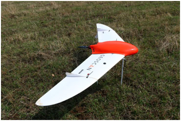
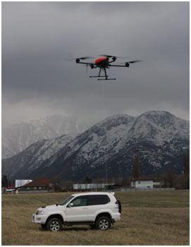
- performance of aerial photography with UAV (unmanned aerial vehicle);
- aerial image processing;
- binding of images by reference GPS/GCP points;
- creation of digital elevation and terrain models;
- creation of high resolution orthophotomaps;
- creation of seamless orthophotomosaics;
- 3D modeling.
- low-altitude magnetic reconnaissance with UAV.
- interpretation, analysis and thematic processing of aerial photographs to create inventory maps (soil, ecosystems, etc.), assessment maps (land degradation, soil salinization, etc.), predictive-recommendatory type, etc.
High-precision magnetic and gamma spectral imaging using unmanned aerial vehicles (UAVs)
- geotectonic zoning and identification of large structures, including those promising for oil and gas;
- prospecting and exploration of highly magnetic iron and titanium-magnetite ores;
- prospecting and exploration of metallic (sulfide copper-nickel, tin, polymetallic and other ores) and non-metallic minerals containing magnetic minerals (magnetite, pyrrhotite and others);
- identification and contouring of basic and ultrabasic rocks, detection and tracking of tectonic disturbances, formations of different magnetic properties, determination of the depth of rocks, identification of the crystalline basement tectonics elements.


